This is part 3 of a series of blog posts describing my trip from Fairbanks Alaska to my great-grandfather's research cabin on Flaxman Island.
Part 1 is here and Part 2 is here.
The whole set can be found here - check out map, where I've managed to figure out where most of the pictures were taken. Don't forget to use the arrows near the bottom of the map page to page through the picture sets.
We took off from Arctic Village and headed north into the Brooks range.
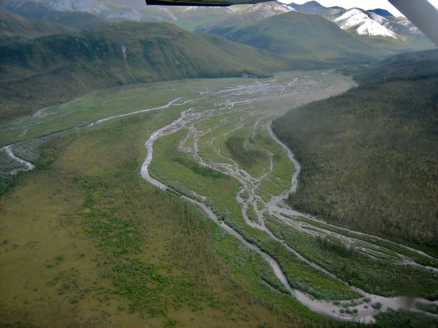
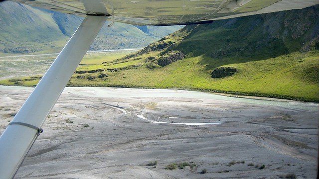
Flying in this part of the world mostly seems to involve following rivers as if they were highways.
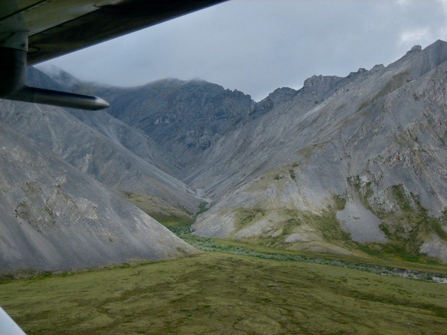
Looking at the pictures I took at this point in the trip, I notice that many of them are only about 15 seconds apart from each other. In the 20 minute period when we entered the mountains and crossed the highest point of the pass, I took 66 photographs and over a minute of video footage. This is some of the most breath-taking scenery I've ever seen in my life. I'm just going to shut up now and show you some of it. To get the full effect, go to the Flickr stream and run some of these shots in full-screen mode on a large monitor or TV set (or put your iPad very close to your face).
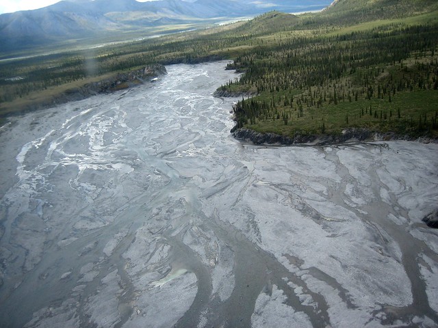
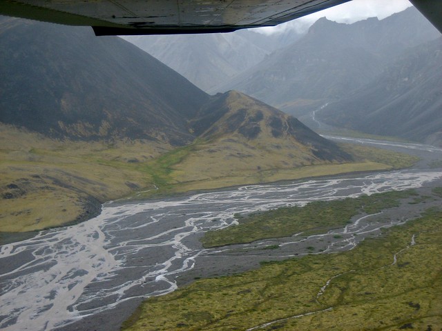
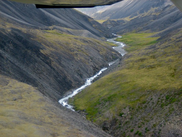
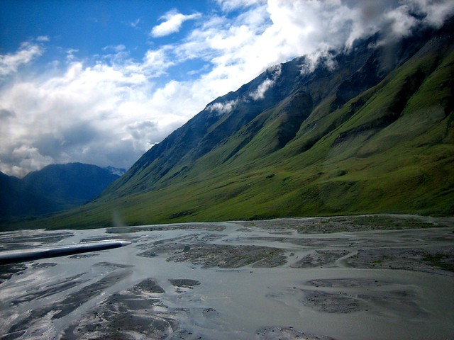
Because the Cessna's wing is above the body of the plane, the tops of the mountains were often invisible. The river valley below was quite hypnotic, though, with its endlessly shifting colours and shapes.
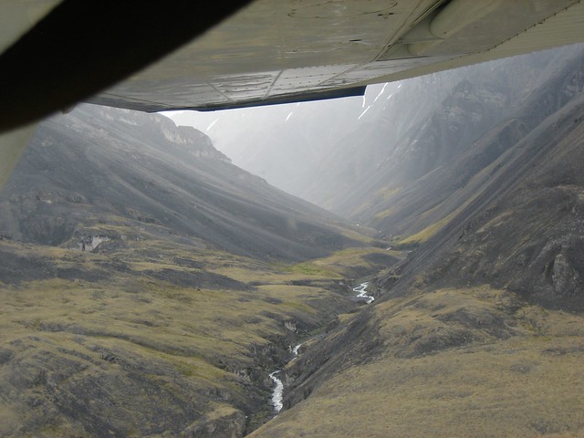
This is one of my favourite photographs ever - can't you imagine Frodo and Sam walking along that river valley?

I recently showed these pictures to a member of Halifax's Shambhala community at The Hub and she said they reminded her a lot of Tibet. I admit that I half-expected to see a pavilion or castle wall climbing these mountainsides - but we were hundreds of miles from any major human construction.
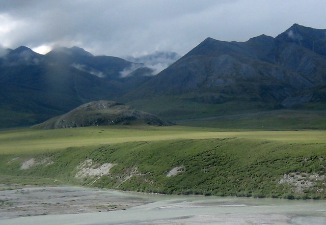
During this part of the flight we saw the tents and inflatable rafts of an outdoor adventure tour, and Kirk saw a fellow northern pilot fly overhead and radioed him. There may only be a few people for such a large amount of land, but they seem to cluster in common areas along the rivers, and everyone seems to know everybody else - it sometimes feels like a 100,000-square-mile small town.
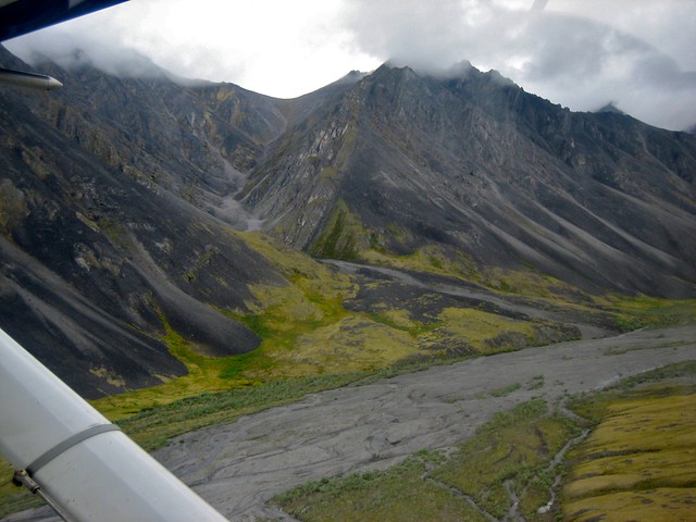
The mist and cloud started to clear, bringing out the striking neon yellow-green of the ground cover in these valleys.
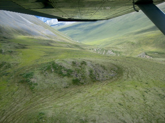
The valleys seemed so inviting from the air - I wanted to land the plane and just walk among the green slopes, just like my great grandfather probably had a century ago.
I kept seeing things that reminded me of films or books - sometimes the sublime, inhuman peaks made me think of H. P. Lovecraft's The Mountains of Madness:
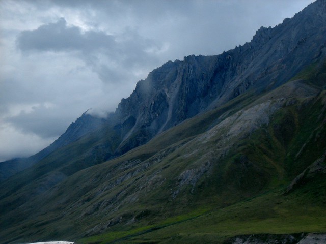
Sometimes the vast panoramas reminded me of the New Zealand locations for the films of The Lord of the Rings. Doesn't this remind you of Edoras?
Flying through the Brooks Range felt like a lifetime of visual experiences, but it really only took half an hour.
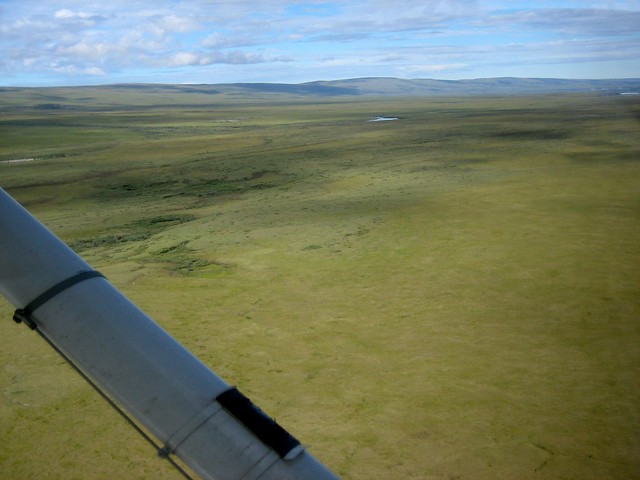
Then we came out over the tundra, stretching out to the horizon, neon green in the summer sun.
To be continued.