I had come to the Peak District without a lot of planning or research. I had the impression there was some lovely scenery and lots of places for hiking, but I pointedly hadn't dug deep into guides or maps. This time was for recovering from some intense deadline work – I just needed to live freeform for a while.
After a hearty breakfast I figured I would just head out and see what I could find. A sign by one of the Main Street shops noted that the slope just north of town was called "Win Hill" so I decided to see what it was like.
I wandered the side roads towards the hillside until I came across a sign:
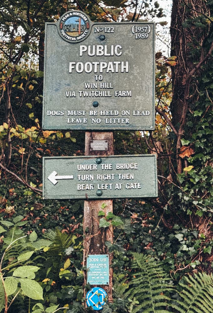
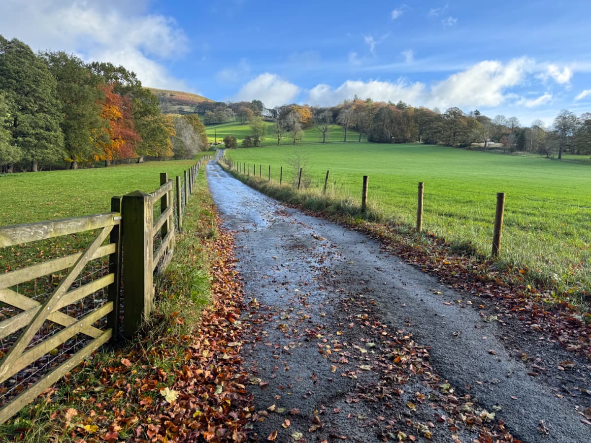
Looks like I was on the right path. I just needed to go under the bridge, turn right, then bear left at the gate. I found myself in the prettiest early autumn countryside:
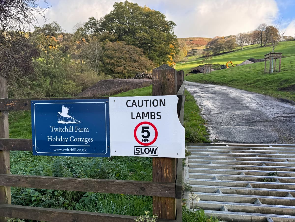
I passed by the first of what would be many sheep on this hike, and even a sign saying "Caution Lambs" (though I didn't see any).
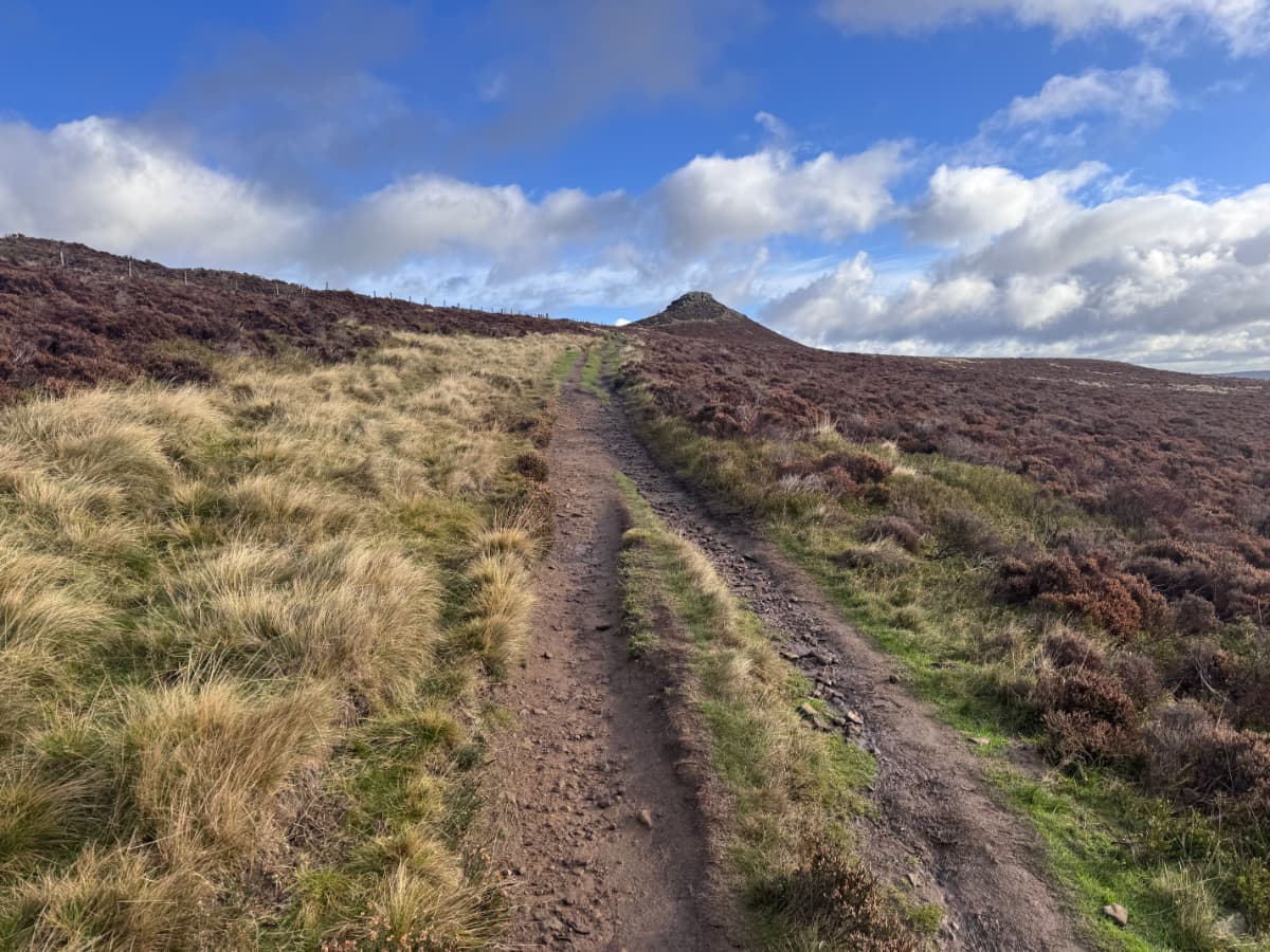
Soon I left the charming bucolic landscape behind and started climbing up the hill. Climbing quite steeply actually, though I was clearly on a path others had used before.

When adjusting these photos to post here I kept having to stop myself from dialling back the glowing yellow-green of the grass when the sunshine hits it. It looks unreal but that's the real colour.
Through some gates and up more slopes I climbed above the level of grassy pastures and into dense patches of heather. I saw in the distance what I later learned was Win Hill Pike, a rocky outcrop at the top of Win Hill, known locally as "The Pimple".
As I got closer I wondered if it was climbable – and then I saw someone else had gotten there ahead of me.
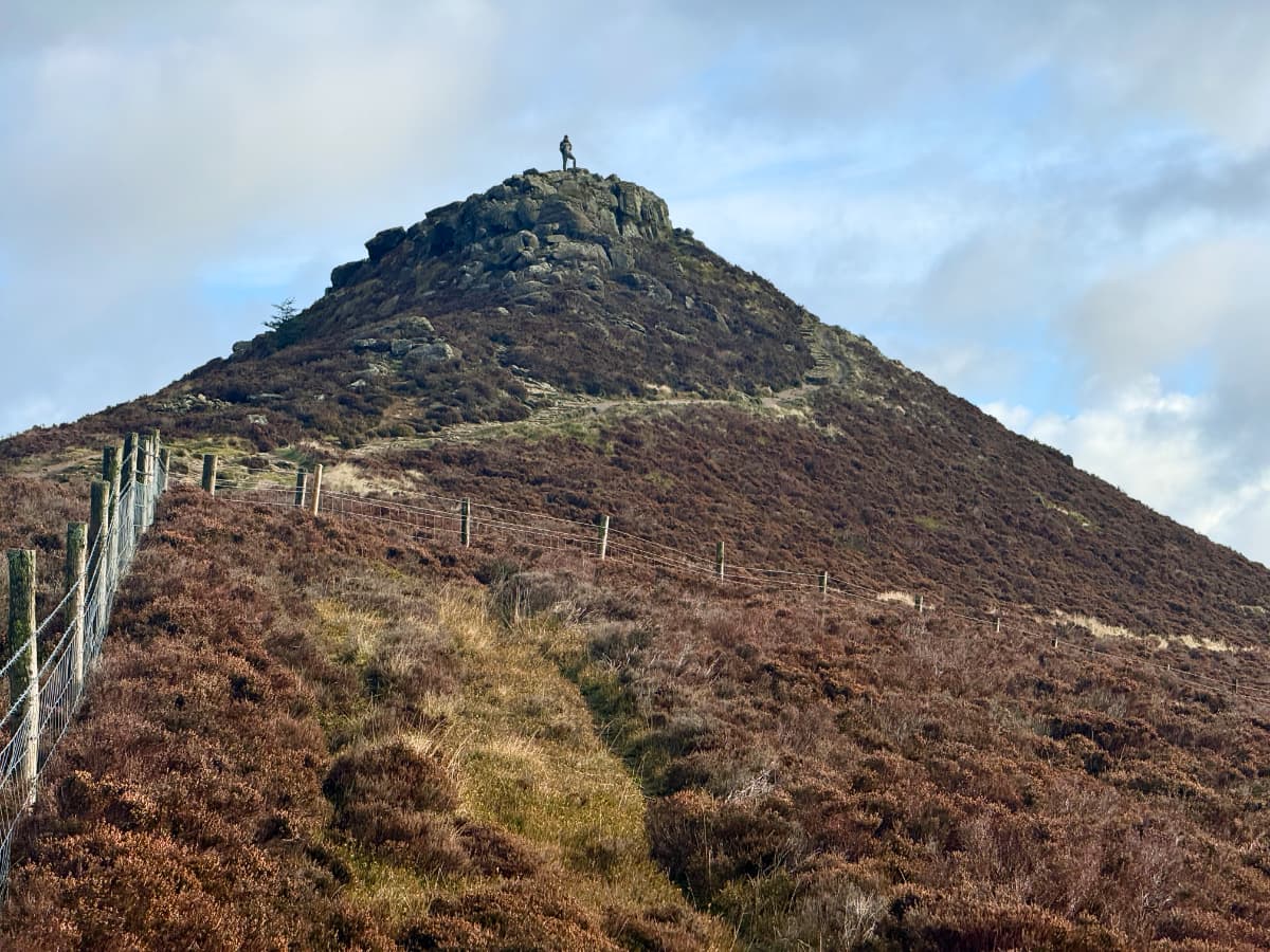
There was not just a trail up to the top of the "pimple" but the remains of a fitted-stone road, clearly made by someone who cared about getting up here.
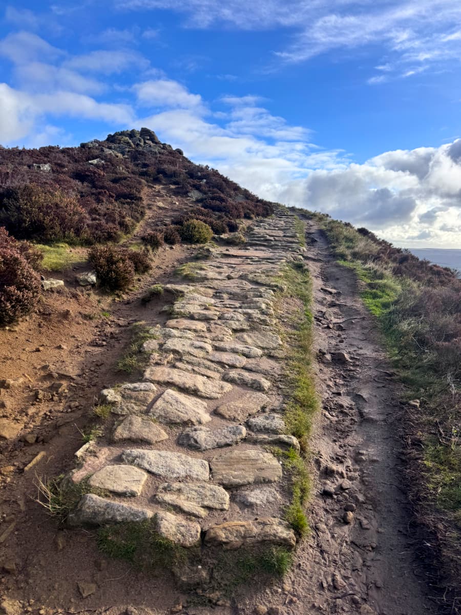
It circled higher and higher.
Then I finally made it to the hilltop!
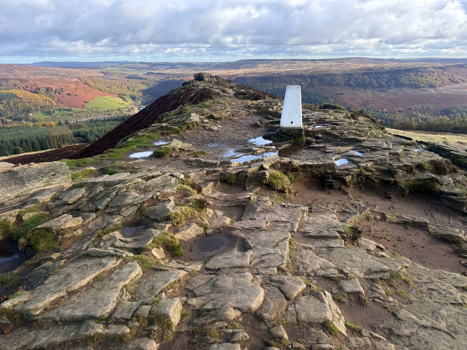
The white object is a Triangulation Station used for survey work. As I had spent a lot of 2024 playing Assassin's Creed Valhalla, I had a strong urge to climb on top so I could synchronize and turn this into a fast-travel point.
The scenery was not dissimilar, though for a change real life was more intense than the video game version:
(I did check later and the Peak District is recreated in Assassin's Creed Valhalla, but it's a snow-bound area and doesn't unlock until near the end of the game – there are a few recognizable names but it otherwise isn't very similar to the real landscape.)
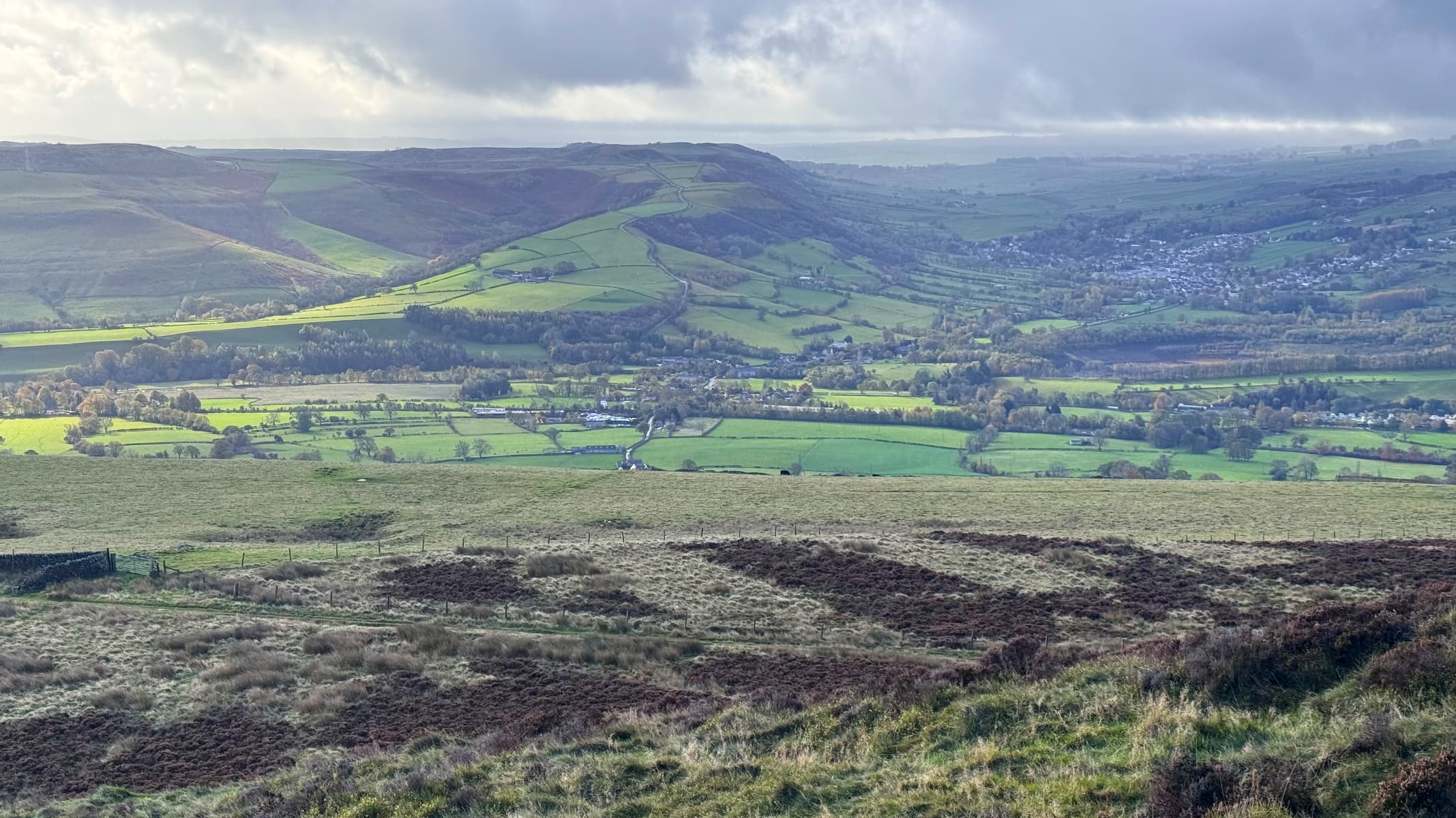
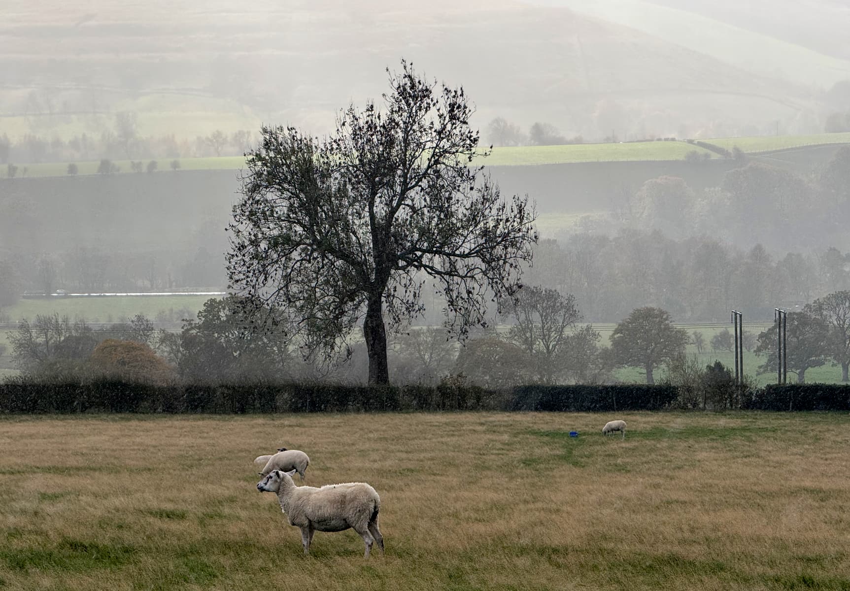
The view was spectacular in every direction: in one direction a sweeping vista across the valley to the hills opposite that made me think of Blake's "green & pleasant land":
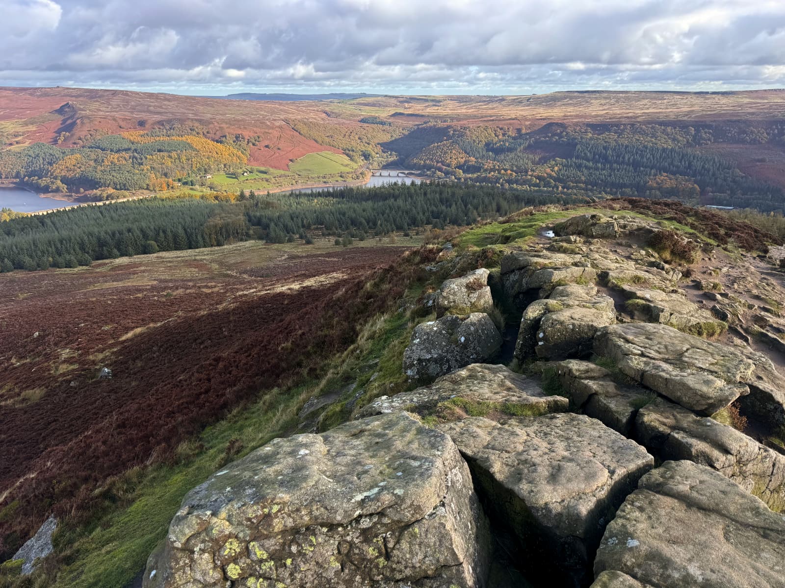
Another view was down from the peak to forests, reservoirs, and bridges:
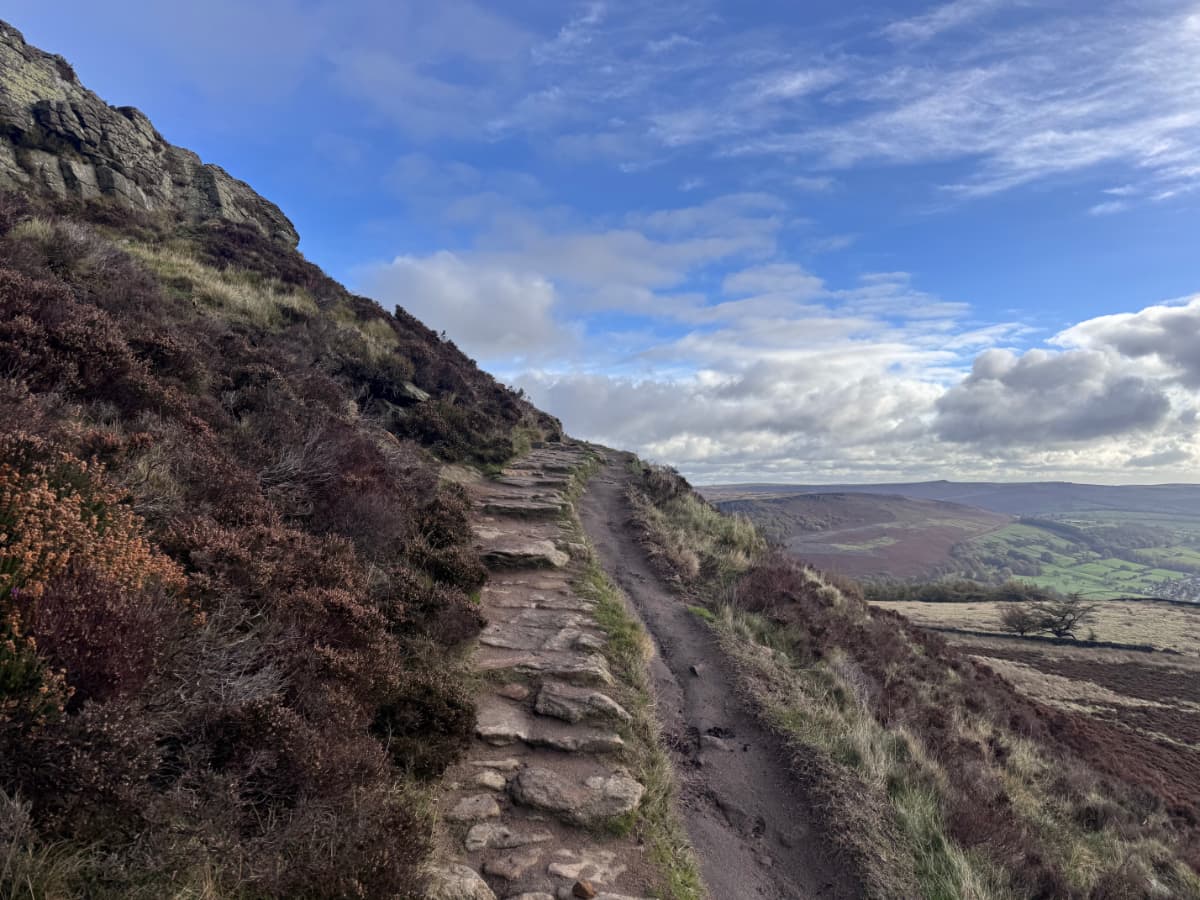
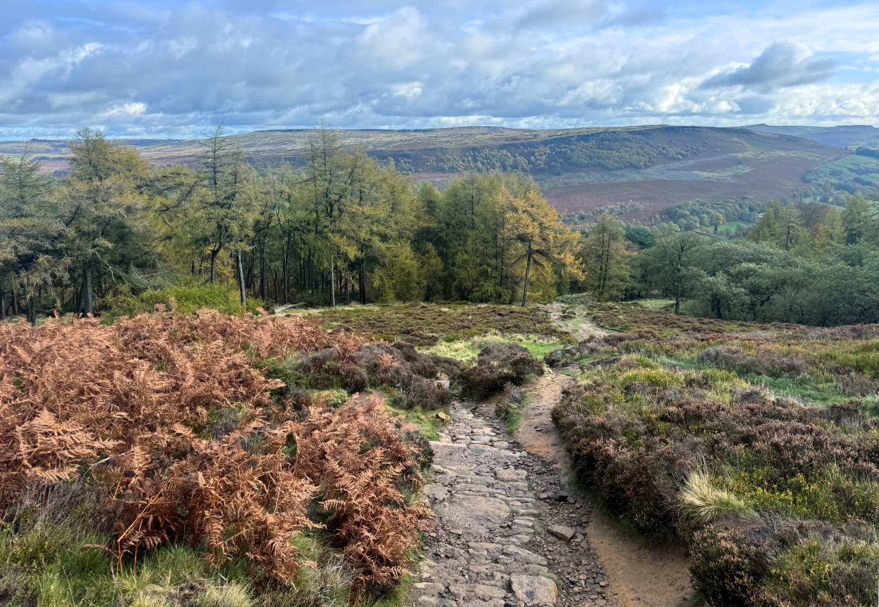
In the opposite direction, a trail led across the hilltop ridge into the distance:

After reaching a peak and a view, you want to soak it all in as long as possible - but eventually you start feeling cold in the wind, and maybe a bit hungry, and the need to move on takes over.
According to the map on my phone, it looked like the best bet was to take a direct trail straight down from the peak through some forest and into the valley. I saw some people coming up from that direction, a few carrying walking poles, and I thought, hah it's a good thing I'm a Canadian hiker and don't need that kind of thing just to get up and down an English hill.
Well, I soon regretted those thoughts, as the trail quickly became narrow stone steps alongside a steep rock face, extra slippery with rain and fallen needles.
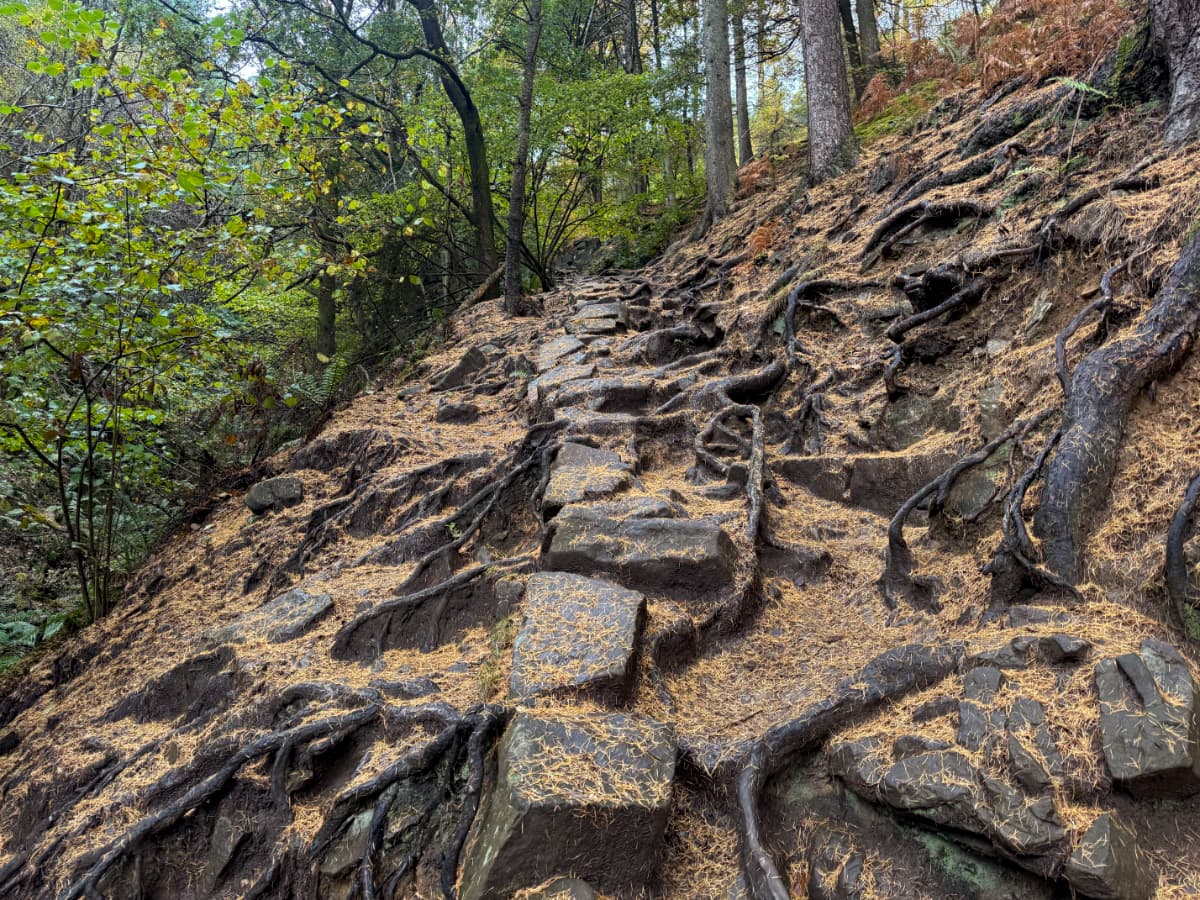
The photo (looking back upwards) doesn't really give the full impression of the steepness, although I hope it shows the slipperiness. I occasionally ended up on all fours, pivoting awkwardly on nearby roots and branches. I was reminded of the challenging slopes of Cape Chignecto. I guess those walking sticks would have come in handy after all!
Later, when I got my hands on a guidebook, I learned that this steep hillside was one of the most challenging trails in the entire Peak District! At least it was only about a kilometre and I was going down, and there were lots of other people around in case I did wipe out. The nice thing about hiking in Britain, unlike in parts of Canada, is you're rarely very far from other people.
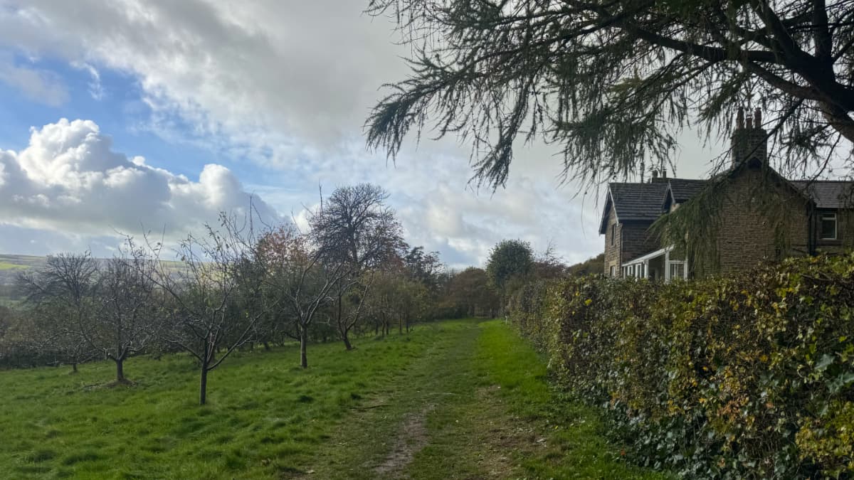
I felt accomplished, but I was now on the far side of Win Hill from the inn at Hope. My phone map showed a trail that skirted the lower slopes of the hill, and ended up passing through some utterly charming countryside, with sheep pens, cozy cottages, and grander-looking estates.
I passed a lovely house next to an orchard, and discovered a tray of recently picked apples with a small cashbox and a note saying to please leave one pound per four apples - an Honesty Box! I wasn't that hungry so only took two apples, but still put a pound coin in the box.
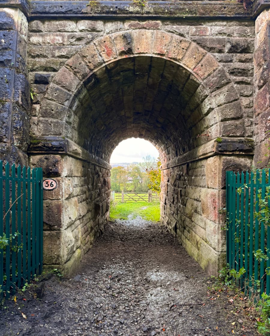
The path crossed under the railroad tracks again, through a ridiculously scenic tunnel.
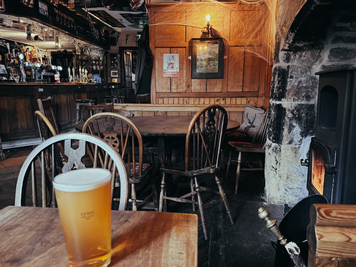
I passed through more fields and finally into the village of Hope and back to the inn, where I had a hearty lunch stew and a refreshing pint by the fire, in among the Hallowe'en decorations.
What I like about hiking in 2025 is that afterwards I can look back at where I went through the automatic tracking from my watch and phone.
![]()
You can see the exertion levels as the colour goes from leisurely green and yellow to intense orange and red. Can you guess where the steep bits were?
I then spent the rest of the day recuperating, and looking forward to another hike tomorrow.